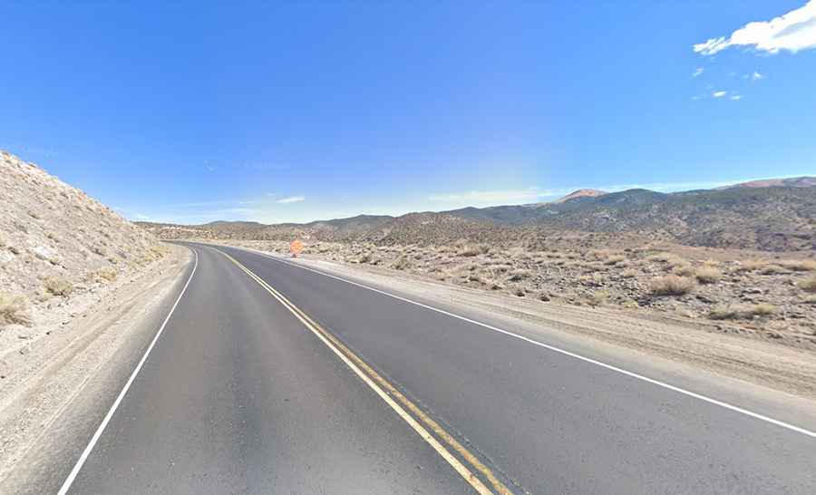
The road to Montgomery Pass in Nevada: the world’s highest casino
Montgomery Pass is a high mountain pass at an elevation of 2.185m (7,167ft) above sea level, located in Mineral County, in the U.S. state of Nevada.

Is the road to Montgomery Pass in NV paved?
Stranded in the middle of the Nevada desert, the pass, also known as Mt. Gomery, is traversed by the U.S. Route 6 (US 6), a paved twisty, scenic high desert and mountain road. It marks the western end of a coast to coast highway extending a distance of 3652mi through 14 states. A small sign advises of the elevation of the pass, but the actual summit lies a bit further ahead.
How long is Montgomery Pass in NV?
Located within the Inyo National Forest, the pass is 65.17km (40.5 miles) long, running from Coaldale (Nevada) to Benton (in Mono County, California).
Is Montgomery Pass in NV difficult?
The two-lane road over the pass, also known as Grand Army of the Republic Highway, has mostly sweeping curves and dramatic changes in elevation. The traffic is usually light to moderate, and there’s a potential of loose range stock on the highway. All trucks carrying hazardous materials much register with the Nevada Department of Transportation.
Where was the world’s highest casino?
There was a small casino near the pass. Once claiming to be the “world’s highest casino,” it burned down sometime before 2011. It looks like there used to be also a restaurant, a motel and a lodge, cabins and houses but everything is now shuttered.