Road trip guide: Conquering Bountiful Peak in Utah
Bountiful Peak is a high mountain peak at an elevation of 2.787m (9,143ft) above sea level, located in Davis County, in the U.S. state of Utah.
Where is Bountiful Peak?
The peak is located approximately 6.1 miles north northeast from Bountiful City, in the northern part of Utah, within the Wasatch-Cache National Forest.
Is the road to Bountiful Peak in Utah unpaved?
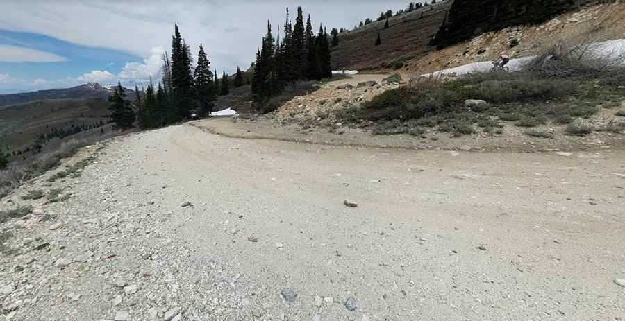
The road to the summit is totally unpaved. It’s called Skyline Drive (Forest Road 008). It’s a windy and narrow dirt road with steep drop offs set in an alpine basin. Set high in the Northern Wasatch Mountains, the drive is pretty steep but most cars will be able to make the journey. Large vehicles, RVs, and towing trailers over 24 ft' are not recommended.
How long is the road to Bountiful Peak in Utah?
The road through the summit is 39.91km (24.8 miles) long, running from Farmington to Bountiful. It can be accessed year round but may be closed in winter when the weather is bad.
Pic: Stephen Wasmund