The road to Dallas Divide in Colorado provides stunning views in Autumn
Dallas Divide is a high mountain pass situated at an elevation of 2,743m (8,999ft) above sea level, located in the U.S. state of Colorado.
Why is it called Dallas Divide?
The pass is named after George M. Dallas, the 11th Vice President of the United States.
Where is Dallas Divide in Colorado?
Located in the San Juan Mountain range, Dallas Divide sits on the border between San Miguel and Ouray counties in the southwestern part of Colorado. It separates the San Juan Mountains to the south from the Uncompahgre Plateau to the north.
When was the first road through Dallas Divide in Colorado built?
The first road through the pass was built in 1880 as a toll road, helping early explorers and pioneers navigate the challenging Colorado's Rocky Mountains.
How long is Dallas Divide in Colorado?
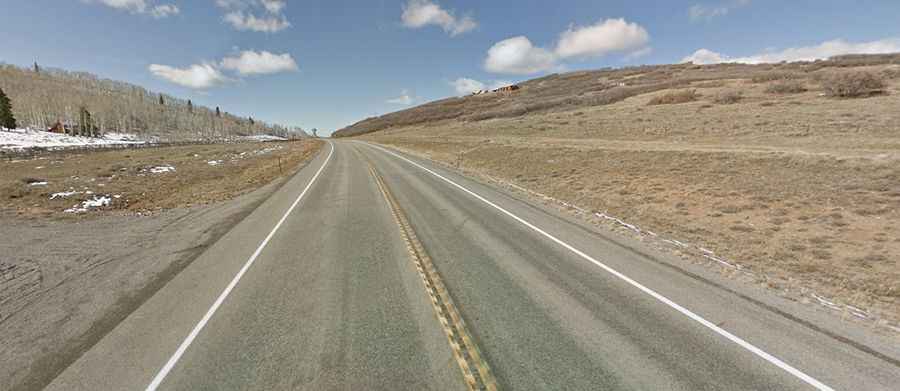
The fully paved road to the summit is called State Highway 62 (CO-62). The pass is 37.49 km (23.3 miles) long, running from Placerville in San Miguel County to Ridgway in Ouray County.
Is Dallas Divide in Colorado challenging?
No, both approaches to the divide are relatively gentle, with a steady grade of roughly 4%. This mild gradient allows most vehicles, including trucks, to travel easily, even during winter months. Dallas Divide is typically accessible throughout the year.
Is the road through Dallas Divide in Colorado worth it?
Yes, the route offers scenic views of towns like Ridgeway and Telluride. For landscape photographers, Dallas Divide is a prime location. The views, especially in autumn, are stunning.