An awe-inspiring drive to Jones Gap
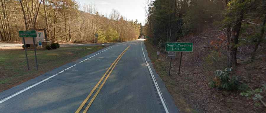
Jones Gap is a mountain pass at an elevation of 893m (2,929ft) above sea level, located on the border between South Carolina and North Carolina, in the Southeastern region of the United States.
Where is Jones Gap?
The pass is located on the boundary between Transylvania County (in North Carolina) and Greenville County (in South Carolina), within the Mountain Bridge Wilderness Area.
Is Jones Gap paved?
Set high in the Blue Ridge Mountains, the road to the summit is totally paved. It’s called US-276 E. The drive features steep sections, hitting an 11.1% of maximum gradient through some of the ramps.
How long is Jones Gap?
The pass road is 26.39km (16.4 miles) long, running from Cedar Mountain (in Transylvania County, North Carolina) to Cleveland (in Greenville County, South Carolina). The drive is pretty scenic.