Conquering Mestaa’Ėhehe Pass (Squaw Pass) in Colorado
Mestaa’Ėhehe Pass (formerly Squaw Pass) is a high mountain pass at an elevation of 2,984m (9,790ft) above sea level, located in Clear Creek County, in the U.S. state of Colorado.
What is the new name for Squaw Pass in Colorado?
Squaw Pass was renamed in 2021 as Mestaa’Ėhehe Pass. It’s named after Mestaa’ėhehe, or Owl Woman, a translator member of the Cheyenne tribe in the early 1800s.
Where is Mestaa’Ėhehe Pass (Squaw Pass)?
The pass is located in the northern part of Colorado, between Evergreen and Idaho Springs, within the Arapaho National Forest.
When was the road through Squaw Pass in Colorado built?
Easily accessible from the Denver metropolitan area, the first road through the pass was established in 1923, and it would later become fully paved by 1956.
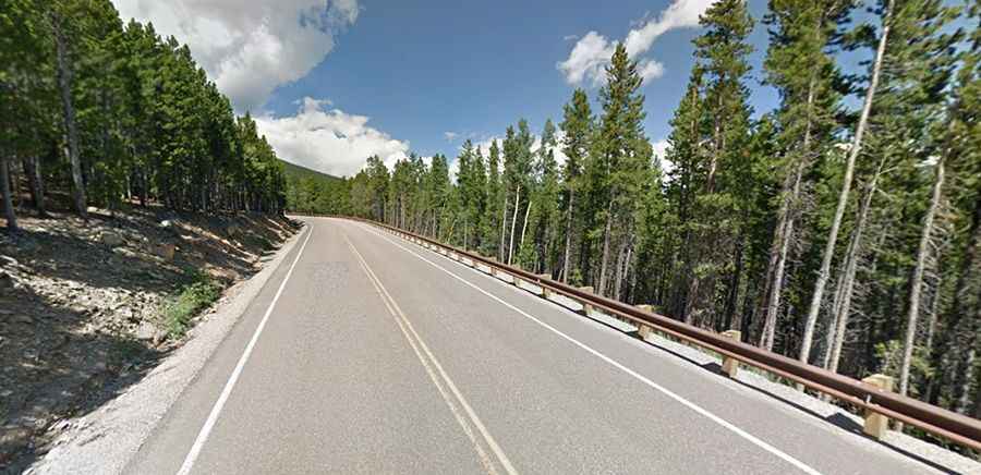
Is Mestaa’Ėhehe Pass (Squaw Pass) paved?
The road to the summit is totally paved. It’s called Mestaa’Ėhehe Road (formerly Squaw Pass Road), also known as Colorado State Highway 103. The road is 49.56km (30.8 miles) long, running from the City of Idaho Springs, the most populous municipality of Clear Creek County, to CO-74, north of Evergreen. The road to the summit is very steep, hitting an 8% maximum gradient through some of the ramps.
Is Squaw Pass Road open?
Set high in the Front Range of the Rocky Mountains, the road can be accessed year-round but may be closed in winter when the weather is bad. It’s often blocked by snow.