The beautiful and scenic road to Ohio Pass in Colorado
Ohio Pass is a high mountain pass at an elevation of 3,072m (10,078ft) above sea level, located in Gunnison County, in the U.S. state of Colorado. It’s a scenic drive that any 2WD vehicle can handle in the summer.
Where is Ohio Pass in Colorado?
The pass is situated in the western part of Colorado, within the Gunnison National Forest. It marks the highest point on the road.
When was the road through Ohio Pass in Colorado built?
A wagon road was constructed through the pass in 1879.
Can I drive through Ohio Pass in Colorado?
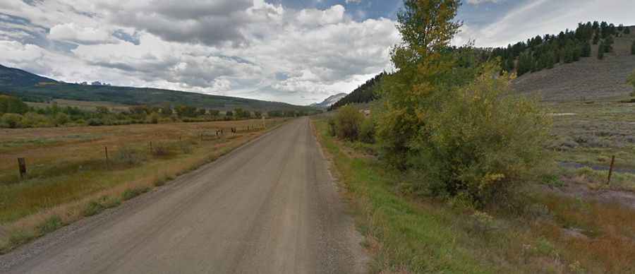
The road to the summit is called Ohio Pass Road (Gunnison County Road 730, also known as Colorado Road 730 and Forest Road 730). This route doesn't receive much traffic, and there is no cell phone service along the way.
How long is Ohio Pass?
The pass stretches for 37.33km (23.2 miles), running from CO-135, near Gunnison, to Kebler Pass Scenic Drive.
Is Ohio Pass in Colorado open?
Situated high in the Rocky Mountains of Colorado, to the south of Kebler Pass, the road is impassable from November to May.
Is Ohio Pass paved?
The first 19.79 km (12.3 miles) are paved, while the remainder is gravel/dirt but generally in decent shape. It’s suitable for automobiles, except for vehicles with extremely low clearance. Large RVs and boat trailers are not advised on the narrow portion near the top of the pass. Expect some steep sections, with a maximum gradient of 10%.