Travel Guide to Dunckley Pass in Northwest Colorado
Dunckley Pass is a high mountain pass at an elevation of 2,982m (9,783ft) above sea level, located in Rio Blanco County, in the U.S. state of Colorado.
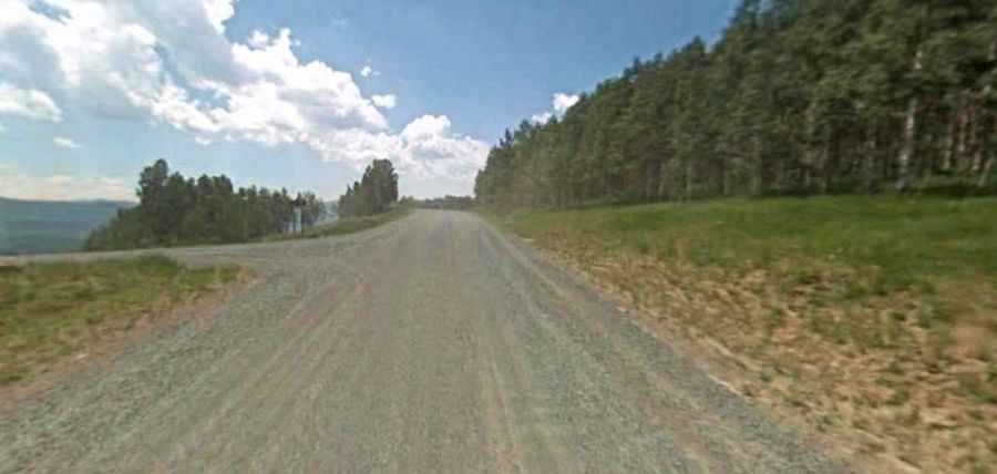
Is the Road to Dunckley Pass Unpaved?
Located in the Flat Tops Wilderness Area of the Routt National Forest, the road to the summit is completely unpaved. It’s part of the challenging Flat Tops Trail Byway and is called County Road 8 (formerly known as State Highway 132). Despite the rugged terrain, it’s easily accessible by most passenger vehicles.
How Long Is the Road to Dunckley Pass?
The road to the summit stretches 129.87km (80.7 miles), running west to east from Meeker (in Rio Blanco County) to Yampa (in Routt County). The drive offers spectacular panoramic views, especially during the fall season when the colors are at their peak.
Is the Road to Dunckley Pass Open in Winter?
Set high in northwestern Colorado, the road is not plowed in winter. It’s only accessible seasonally, typically from Memorial Day weekend through mid-October.