Driving the tough Dishpan Springs Trail in San Bernardino NF
Dishpan Springs Trail is a short but demanding off-road challenge located in San Bernardino County, in the U.S. state of California.
Where is Dishpan Springs Trail?
The trail is located east of Lake Arrowhead, in the southern part of California's San Bernardino National Forest.
How long is Dishpan Springs Trail?
The Dishpan Springs Trail is part of the Crab Flats OHV Road 3N34, also known as Willow Creek Jeep Trail, Forest Road 3N34, Deep Creek Trail, and Crab Flats. Found just east of Deep Creek, the segment of the road known as Dishpan Springs is approximately 3.21 km (2 miles) long, running from the Deep Creek Bridge to the Fisherman's Camp trailhead.
How challenging is Dishpan Springs Trail?
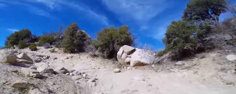
The trail is extremely difficult and not recommended for stock SUVs. Despite its brevity, Dishpan Springs offers a formidable off-road experience, featuring large boulders, deep ruts, steep climbs, and a dry waterfall. The U.S. Forest Service rates this trail as a black diamond, signifying its status as a highly challenging route, and it is not recommended for stock SUVs.
What’s "The Waterfall"?
One notable section, known as "The Waterfall" or Devil’s Slide, consists of a steep, deeply rutted rock face, where body damage and breakage to a stock 4x4 are likely. If uncertain about your driving abilities, it is advisable to avoid this particular segment. While crossing Deep Creek has been made more manageable with the addition of concrete on the creek bottom and a bridge, inclement weather conditions can still render it impassable.
Is Dishpan Springs Trail open?
Snow and ice during winter months add an additional layer of difficulty to the trail. When in doubt, it is recommended to contact the local Ranger Station ahead of time to check on current trail conditions.
Pic&video: San Diego Jeep Club