How to drive the 4x4 Mead-Davis Powerline Road in Nevada?
Mead-Davis Powerline Road is a 23.3-mile (37.49 km) unpaved backcountry trail running through the Lake Mead National Recreation Area in Clark County, in the US state of Nevada. Located along the western shore of Lake Mohave, it serves as the primary gateway to a network of remote desert tracks and secluded coves.
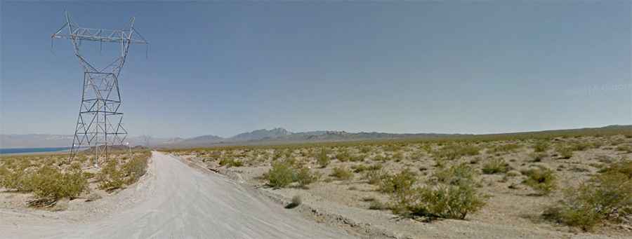
| Road facts: Mead-Davis Powerline Road | |
|---|---|
| Location | Lake Mead NRA, Clark County, Nevada (USA) |
| Length | 37.49 km (23.3 miles) |
| Start / End Points | Cottonwood Cove Road to Green Light Cove |
| Surface | 100% unpaved (dirt, desert gravel, dry washes) |
| Vehicle Requirements | High-clearance 4x4 vehicle required |
| Key Hazards | Deep wash dips, flash flood mud, narrow blind passing spots |
Where is the Mead-Davis Powerline Road located?
The road is located in southern Clark County, Nevada, running along the Nevada side of Lake Mohave. It starts off the paved Cottonwood Cove Road and heads south across high desert terrain to terminate near Green Light Cove.
Is the Mead-Davis Powerline Road paved?
No, the entire 23.3-mile (37.49 km) route is 100% unpaved. The surface is composed of natural dirt, desert gravel, loose rock, and dry creek beds. Maintenance is minimal, especially past intermediate trail junctions.
How long is the Mead-Davis Powerline Road?
The track stretches for 23.3 miles (37.49 km) from north to south, providing direct vehicle access to several remote Lake Mohave beaches and side canyons along its length.
How challenging is the Mead-Davis Powerline Road?
The first half of the drive is straightforward, flat, and wide. However, past the intersection with Empire Wash Road, the terrain changes into a series of steep climbs, tight zig-zags, and deep washes. While not extreme rock crawling, the route presents steep inclines and unmaintained sections that demand a high-clearance 4x4 vehicle and careful speed control. Drivers must slow down when approaching oncoming traffic on narrow stretches.
What are the weather hazards on Mead-Davis Powerline Road?
Rain events pose severe risks along the route. Heavy rainfall turns the dry washes into fast-flowing creek crossings and leaves deep, slippery mud that routinely causes trail washouts and temporary road closures.