How to drive the unpaved Upper Bridge Canyon Road in Nevada
Upper Bridge Canyon Road is a short gravel road located in Clark County, in the U.S. state of Nevada. It’s a 4wd track.
Where is the Upper Bridge Canyon Road?
The road is located north of Laughlin in the southern part of Nevada, within the Lake Mead National Recreation Area.
Is the Upper Bridge Canyon Road unpaved?
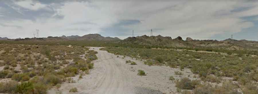
Tucked away in the Newberry Mountains, the road to the summit is totally unpaved, with sandy parts. A 4x4 vehicle is required. Make sure you know your cars dimensions and lowest point of clearance – you don’t want to get stuck in the middle of nowhere; at all times, make sure you travel with at least one passenger and one other vehicle. There are a couple of places where you’ll want a spotter. There are boulders to climb on and around.
How long is the Upper Bridge Canyon Road?
Starting from the paved NV-163, the road is 7.40km (4.6 miles) long. Over this distance, the elevation gain is 349m (1,148 ft) and the average gradient is 7.41%. It ends in the heart of the Bridge Canyon Wilderness Area.