Driving the dangerous road to Cajon Pass in California
Cajon Pass is a mountain pass at an elevation of 1,186m (3,891ft) above sea level, located in San Bernardino County, in the U.S. state of California.
Where is Cajon Pass?
The pass is located to the east of Cajon Junction, in the southwestern part of San Bernardino County.
What does Cajon mean?
Tucked away in the southern portion of California, the pass was created by the movements of the San Andreas Fault. It had been used for thousands of years by the Native American people who lived in the area. In Spanish, the word ‘Cajón’ refers to a box or drawer.
How long is Cajon Pass?
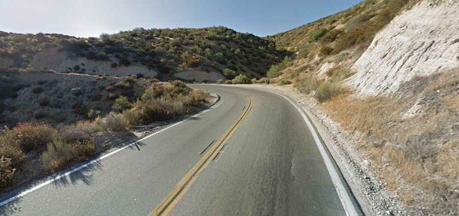
The road to the summit is totally paved. It’s called California State Route 138 (SR 138). The pass road is 31.70km (19.7 miles) long, running west-south from Cajon Junction to Crestline.
Is Cajon Pass open?
Set high between the San Bernardino Mountains and the San Gabriel Mountains, access to the pass is open all year round. The pass occasionally receives snow, sometimes enough to temporarily close it. The area is known for high winds, turbulence, and fog, which can cause high-profile vehicles such as semi-trucks to lose control or tip over. The weather over the pass can vary, from foggy days with poor visibility to clear afternoons.
How dangerous is Cajon Pass?
The road is dangerous for several reasons. Drivers headed to Las Vegas are distracted by dreams of the big money they'll win. Drivers returning from Las Vegas are distracted by how much money they've lost. Trucks (in CA) are limited to 55 mph while cars are allowed to drive 70. The difference in speeds is dangerous. The road is steep, with a maximum gradient of 15% through some of the ramps.