Travelling through the scenic Arizona State Route 67
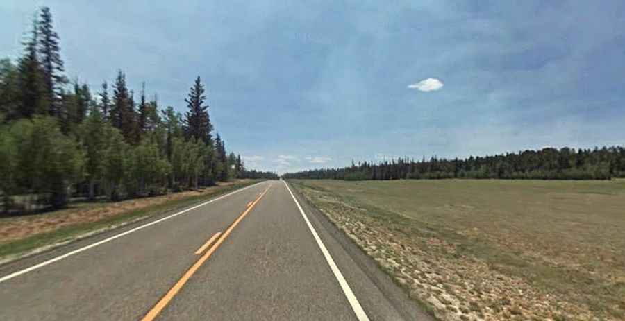
State Route 67 (SR 67) is a very scenic drive winding through forest and meadows, located in the US state of Arizona, within the Grand Canyon National Park.
Where is the Arizona State Route 67?
The road is located in Coconino County, in the north-central part of Arizona. It’s also known as Grand Canyon highway and Kaibab Plateau-North Rim Parkway,
How long is the Arizona State Route 67?
The road is fully paved. It’s 70.16km (43.6 miles) long, running north-south from U.S. Route 89A (US 89A) at Jacob Lake to the North Rim of Grand Canyon National Park. The road was built in the late 1920s and paved in 1940.
Is the Arizona State Route 67 open?
It’s a high mountain road, topping out at 2.699m (8,854ft) above sea level. The area receives a great deal of snow, more than 9 feet during an average winter. It’s closed annually for the winter season: after the first heavy snow (around December) and does not open again until mid-May.
How long does it take to drive the Arizona State Route 67?
Plan 1.30 hours without any stop. Please note that gasoline is only available inside of the park seasonally at Desert View. Gasoline is available year-round, just outside of the park to the South in Tusayan. Watch for animals and drive carefully.