Rat Trap Pass in Washington: A Drive for the Brave at Heart
Rat Trap Pass is a high mountain pass at an elevation of 970m (3,182ft) above sea level, located in Snohomish County, in the US state of Washington. The drive is pretty challenging for even the most seasoned adventurers.
Is a 4x4 Essential for Rat Trap Pass?
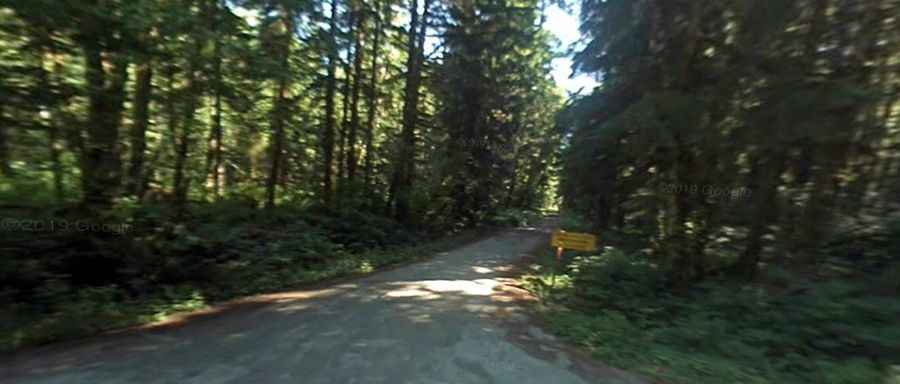
Tucked away within the Mount Baker-Snoqualmie National Forest, the road to the summit is totally unpaved. It’s called National Forest Road #27. This bumpy and often treacherous road demands a 4x4 vehicle. Not recommended to passenger vehicles. With frequent washouts, the road often becomes impassable.
How long is the road to Rat Trap Pass?
The road to the summit is 22.04 km (13.7 miles) long, running from Mountain Loop Highway to National Forest Road #2703.
Is the road to Rat Trap Pass worth the drive?
The drive through the summit is very scenic and offers stunning views of White Chuck Mountain.