North Cascades Highway is one of Washington's Ultimate Road Trips
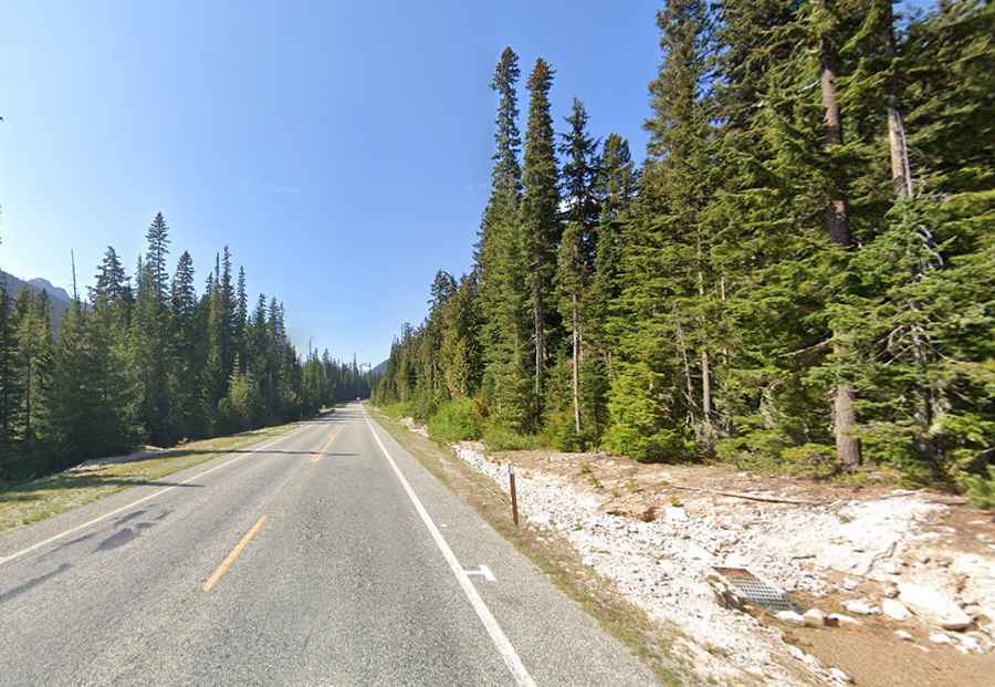
North Cascades Highway (State Route 20) is a very scenic drive located in North Cascades National Park, in the US state of Washington. The road is part of the Cascade Loop, a 436-mile (702 km) driving tour through the Cascades in the northern areas of Washington.
Is North Cascade Highway paved?
The road is totally paved and traverses the U.S. state of Washington, traveling from Discovery Bay to the Idaho state border in Newport. It tops out at Washington Pass, at an elevation of 1,669m (5,477ft) above sea level.
Is North Cascade Highway open now?
The road is the northernmost route across the Cascade Mountain Range in Washington. The road closes every winter when weather, snow conditions, and avalanche danger threaten safety. Avalanche hazard usually closes the highway sometime in late November/early December, and it usually reopens sometime between April to early May. The normal winter closure is between MP 134 (Ross Dam Trailhead) and MP 171 (Silver Star Creek).
How long does it take to drive North Cascades Highway?
The drive offers travelers a wide array of beautiful vistas. Each year, thousands of drivers travel Washington State's breathtakingly beautiful North Cascades Highway (State Route 20), observing the region's alpine flora and fauna and its dramatic geological features. Prepare for sweeping vistas, alpine meadows, wildlife watching opportunities, and recreation galore. This mountain scenic drive begins in Sedro Woolley. The North Cascades Highway provides a unique experience of a striking landscape that is also a rich, interwoven system of living things, climate, and geology. Plan a couple of days to complete the Cascade Loop.