Rainy Pass is one of Washington State's most dramatic roads
Rainy Pass is a high mountain pass at an elevation of 1.486m (4,875ft) above sea level, located on the boundary between Chelan and Okanogan counties, in the U.S. state of Washington.
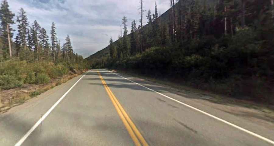
Is the road to Rainy Pass paved?
Located within the North Cascades National Park, on the northern part of Washington, the road to the summit is fully paved. It’s called State Route 20 (North Cascades Highway). It is the northernmost route across the Cascade Mountain Range in Washington.
How long is Rainy Pass?
The pass is about 104km (65 miles) long, running from Diablo (in Whatcom County) to Winthrop (in Okanogan County).
Is Rainy Pass open in winters?
Set high in the North Cascades mountains of Washington state, to the west of Washington Pass, the road features a high risk of avalanches. It’s said to be among the top areas in the country for most avalanche paths per mile of highway. Avalanche hazard usually closes the highway sometime in late November / early December and it usually re-opens sometime between April to early May. Normal winter closure is between MP 134 (Ross Dam Trailhead) and MP 171 (Silver Star Creek).