Panoramic Point Road is a sensational drive in Kings Canyon NP
Panoramic Point Road is a delightful drive located in Fresno County, in the U.S. state of California.
How long is Panoramic Point Road in Kings Canyon NP?
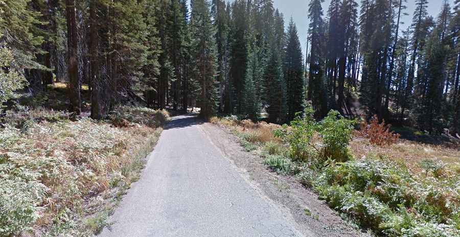
Located in the Kings Canyon National Park, the road is fully paved. Starting at Kings Canyon Scenic Byway (CA-180), just east of the Kings Canyon Visitor Center parking lot, the road is 3.86km (2.4 miles) long.
Is Panoramic Point Road in Kings Canyon NP open?
The road ends at 2.263m (7,424ft) above the sea level. Set high in the central portion of California it is seasonally closed in winter and spring.
Is Panoramic Point Road in Kings Canyon NP challenging?
Located northeast of Grant Grove, the scenic winding road is very narrow. It’s a bit curvy and tight, so trailers and RVs aren’t recommended. The drive is pretty steep. The elevation gain is 262 meters and the average gradient is 6.78%.
Is Panoramic Point Road in Kings Canyon NP worth it?
Tucked away in the Sierra Nevada Mountains, at the end of the road, you will find Kings Canyon Panoramic Point, an overlook with great views and the Park Ridge Fire Lookout. It’s an active lookout tower where visitors can climb to the top for even more impressive views. The drive offers impressive vista points and more.