Hurricane Ridge Road is Washington's Best Driving Road
Hurricane Ridge Road is probably Washington's best driving road. Located within Olympic National Park, this paved road snakes up to Hurricane Ridge, at an elevation of 1,549m (5,082ft) above sea level.
Where is Hurricane Ridge Road?
The road is located in Clallam County, in the northwestern part of the state of Washington.
When was Hurricane Ridge Road built?
The road, sometimes referred to as Heart o’the Hills Road, was built in the 1950s to increase visitation to Olympic National Park. It’s the most easily accessed mountain area within Olympic National Park.
Is Hurricane Ridge Road paved?
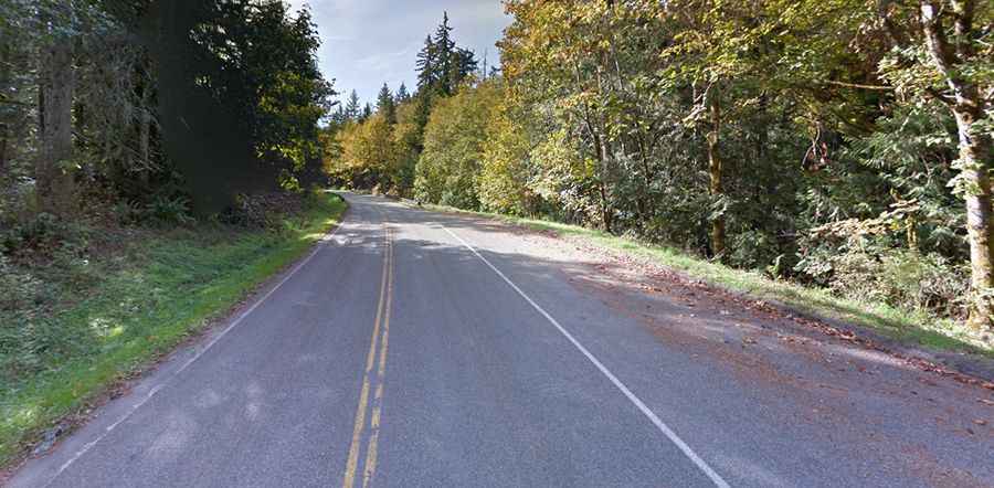
The road is totally paved. It’s 32km (20.1 miles) long. It’s very steep with a few tunnels. This drive begins in downtown Port Angeles and runs up to the top of the mountains, in the middle of Olympic National Park. The road ends at the Hurricane Hill Trailhead parking lot.
How long does Hurricane Ridge Road take to drive?
Plan about 40-60 minutes to travel without any stop. However, the road is very scenic, leading drivers through the beautiful, dense forest of the Olympic Mountains. In clear weather, fantastic views can be enjoyed throughout the year.
Is Hurricane Ridge Road open?
Always check the weather forecast before you start your journey: adverse conditions are common. The average annual snowfall on Hurricane Ridge is 400-plus inches. The road may close on short notice due to weather or unsafe road conditions. The road is open throughout the summer. During the winter season, the road is scheduled to be open Friday through Sunday and holiday Mondays, weather and road conditions permitting, and closed all other days. High winds and blizzard conditions are not uncommon. All vehicles must carry tire chains during the winter season.
Is Hurricane Ridge Road steep?
Starting at Port Angeles, the ascent is 29.9km (18.6 miles) long. Over this distance, the elevation gain is 1,500 meters. The average percentage is 5.1%. The maximum slope is 10%. For the first five miles, the road climbs from 400 feet above sea level to just under 2,000 feet at the Heart O The Hills Ranger Station, the only overnight facility at Hurricane Ridge. Over the next twelve miles as you climb up the narrow road and through three different tunnels, the plant life around you goes through a gradual change.