28 miles of uplift to Redington Pass in Arizon
Redington Pass is a mountain pass at an elevation of 1.314m (4,311ft) above sea level, located in Pima County, in the U.S. state of Arizona. The route to the summit has been in existence for hundreds of years.
Where is Redington Pass?
The pass is located just east of Tucson, within the Coronado National Forest, in the south-central region of Arizona.
When was Redington Pass used for first time?
Set high between the Santa Catalina Mountains and the Rincon ranges, the pass was originally used by natives and eventually improved to facilitate a military supply route used to commute between the San Pedro River Valley and Tucson.
Is Redington Pass paved?
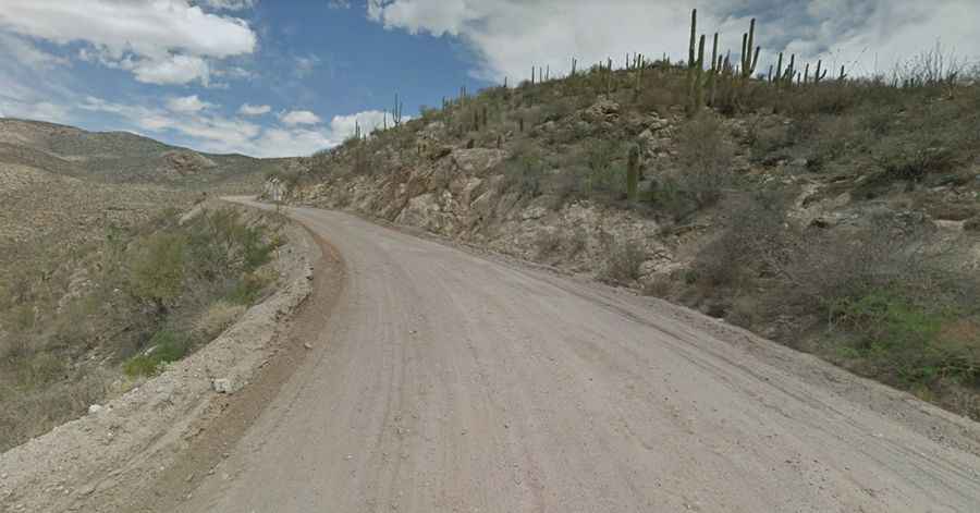
The road to the summit is mostly unpaved (it turns to dirt near mile marker 3). It’s called Redington Road (Forest Road 371). The road is maintained, but is long and steep which may make driving up with large RVs or trailers difficult. It’s manageable in a passenger car.
How long is Redington Pass?
The road is 45km (28 miles) long, running from Tanque Verde to Redington. The drive is pretty scenic with sweeping views of Tucson.