Bradshaw Trail is a soft sand challenge in California
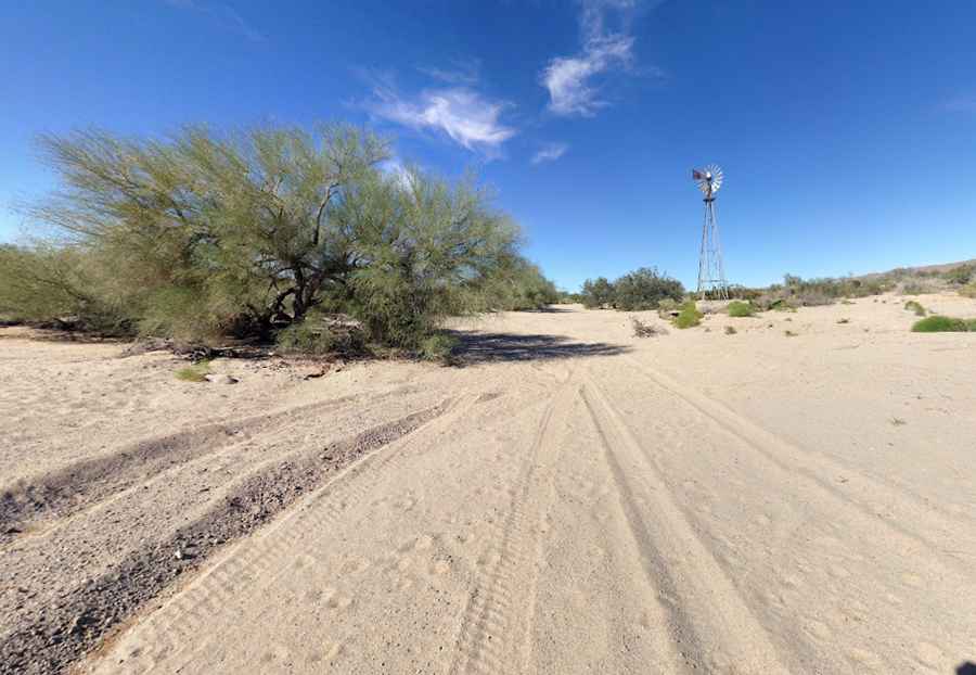
Bradshaw Trail is a maintained road with scenic views, located in Riverside County, in the US state of California. Due to stretches of soft sand, four-wheel-drive vehicles are recommended.
What’s the history of Bradshaw Trail in California?
Established in 1862 by William Bradshaw, this trail was the first to cross the Riverside County desert, extending all the way to the Colorado River. It was once a primary route used to transport miners to the gold fields at La Paz in the late 1800s.
Is Bradshaw Trail unpaved?
Located in the southern part of California, the trail is also known as the Road to La Paz, Gold Road, or Gold Road to La Paz. It’s entirely unpaved. Though periodically graded by the Riverside County Transportation Department, the trail has heavy sand in many areas. A 4WD high-clearance vehicle is required due to stretches of soft desert sand. The terrain varies from sandy washes to deep washouts, flat desert, hills, and small berms or steps.
How long is Bradshaw Trail?
Located between the Chuckwalla Mountains and the Chocolate Mountain Aerial Gunnery Range, this trail is 93 km (57.9 miles) long, running west-east from Summit Road to the Ben Hulse Highway in Palo Verde.
Is Bradshaw Trail in California worth it?
The trail is very scenic, with great views of the Chuckwalla Bench, Orocopia, Chuckwalla, and Mule Mountains. Information kiosks and map stations are available alongside for further exploration in the mountains. There are no amenities directly on the trail.
Pic: James Hatton