A sensational drive to Mount Wilson in California
Mount Wilson is a high mountain peak at an elevation of 1,727m (5,666ft) above sea level, located in Los Angeles County, in the U.S. state of California.
Where is Mount Wilson?
The peak is located near Pasadena, to the northeast of Los Angeles, in the southern part of California.
How long is the road to Mount Wilson in California?
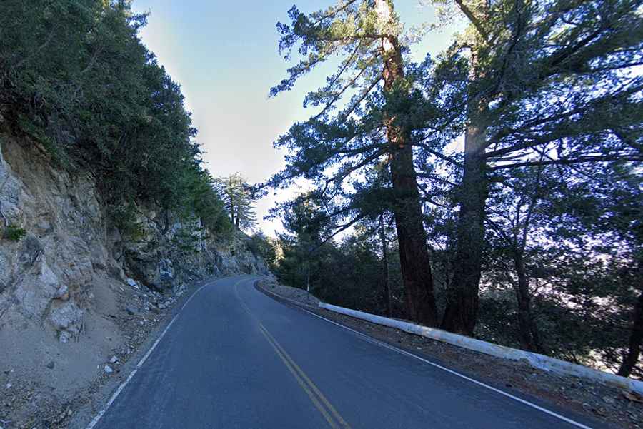
The road to the summit is fully paved but pretty narrow, winding, and steep. It’s called Mount Wilson Red Box Road. Starting from Angeles Crest Highway, the road to the summit is 7.56km (4.7 miles) long. Over this distance, the elevation gain is 313 meters. The average gradient is 4.14%.
Is the road to Mount Wilson in California open?
Set high in the San Gabriel Mountains, do not travel this road in dangerous winter conditions. There is a high risk of rock slides. Be prepared for any weather conditions, including snow and local dense fog.
Is the road to Mount Wilson worth it?
The twists and turns of this alpine road provide a series of curves and ascents. Unique views and scenic landscapes are around every bend. On a very clear day, you can see Santa Catalina Island, California, about 70 miles southwest, with the horizon extending another 30 miles beyond.
How to get to Mount Wilson Observatory by car?
The summit hosts the Mount Wilson Observatory (MWO) and is also heavily utilized for relay broadcasting of radio and television. The observatory has been a useful location over the decades for measurements on stars, galaxies, and other astronomical objects. It’s open to visitors every day from 10 a.m. to 5 p.m. from April 1 through November 30, weather permitting, according to the observatory's website. The newer CHARA Array, run by Georgia State University, is also sited there and does important interferometric stellar research.