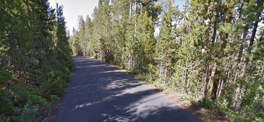
A paved road to Signal Mountain in Grand Teton NP
Signal Mountain is a high mountain peak at an elevation of 2,355m (7,726ft) above sea level, located in Teton County, in the U.S. state of Wyoming.
Where is Signal Mountain?
The peak is located in the northwestern part of Wyoming, near the Idaho border.
How Long is the Road to Signal Mountain?
The narrow road to the summit is 8.0 km (5 miles) long, starting from Teton Park Road. It's fully paved and called Signal Mountain Road. The speed limit is 30 mph.
Is Signal Mountain Road Open?
Located in the heart of Grand Teton National Park, the road is seasonally closed from November 1st through April 30th, depending on snow conditions.
Is Signal Mountain Road Steep?
Starting from Teton Park Road, the elevation gain is 337 meters with an average gradient of 4.21%. Trailers and RVs are prohibited.
Is the Road to Signal Mountain Worth It?
Plan for 30 minutes to drive up and down without stopping. This scenic drive provides sweeping vistas of the Teton Range, surrounding valleys, the flat glacial plains below, Jackson Lake, and the Snake River. The summit features an observation area offering stunning views north over the Snake River and west toward the Teton Range.