An all-weather paved road to Sandia Crest in New Mexico
Sandia Crest is a high mountain peak at an elevation of 3,255m (10,678ft) above sea level, located in Bernalillo County, in the U.S. state of New Mexico. It’s one of the highest roads in New Mexico.
Where is Sandia Crest?
Located just outside Albuquerque, on the northern part of New Mexico, the peak is located within the Cibola National Forest.
How long is the road to Sandia Crest?
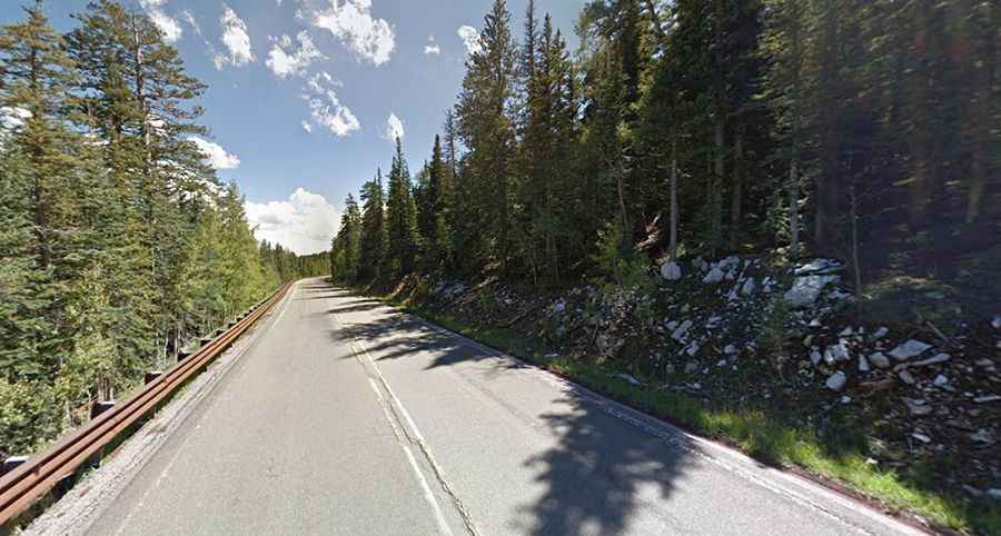
The road to the summit, also known as Sandia Peak, is entirely paved. It’s called NM-536 (Sandia Crest Scenic Byway). Starting at San Antonito, it is 21.40km (13.3 miles) long. It’s suitable for all vehicles. A parking lot, restaurant, gift shop, handicap-accessible viewing, and toilets are found at the summit.
When was the road to Sandia Crest built?
The first road to the summit was built in 1927 and was completely paved in 1960.
Is the road to Sandia Crest dangerous?
Set high in the Sandia Mountains, a mountain range in the southwestern United States, the road surface is in good shape, newly resurfaced. This two-lane road has many switchbacks (around 20) but is otherwise a well-maintained paved road. Watch for dirt on the tight corners. The drive is also a popular path for motorcycle riders with its miles of winding road to the summit. Summer storms can cause drastic temperature drops.
Is the road to Sandia Crest steep?
The road to the summit is very steep, reaching a 9% maximum gradient through some of the ramps. Starting at San Antonito, the ascent is 21.40km (13.3 miles) long. Over this distance, the elevation gain is 1,147 meters. The average gradient is 5.35%.
How long does it take to drive the Sandia Crest Scenic Byway?
The drive is very scenic as it travels through the high desert and dense forests of the Sandia Mountains. Plan 25 minutes to complete the drive without any stops. On the drive, you will be rewarded with spectacular views of Albuquerque, the Rio Grande, Mount Taylor, and the Jemez and Sangre de Cristo Mountains. The views from the summit looking down at Albuquerque and the surrounding areas are absolutely spectacular.