Onion Valley Road is one of the steepest climbs of California
Located in the heart of Owens Valley, in Inyo County, in the US state of California, Onion Valley Road is one of the steepest roads of California: this climb averages nearly 8%.
Where is Onion Valley Road?
The road is located between the Sierra Nevada mountains and the state of Nevada, on the eastern central part of California.
How long is Onion Valley Road?
The road is 21km (13 miles) long, running east-west from the town of Independence on US 395 in the middle of Owens Valley towards Onion Valley Campground. It was formerly known as California State Route 180.
Is Onion Valley Road open?
Set high in the Eastern Sierra Mountains, the road is usually open from May to November, depending on snow conditions. It’s one of the highest roads of California, topping out at 2.810m (9,219ft) above sea level near the end.
Is Onion Valley Road steep?
Tucked away in the Inyo National Forest, it’s said to be one of the hardest cycling climbs in California. It’s a very tough climb. The grade ramps up as you ascend, with the last ten miles averaging over 8 percent. The road heads west from the town of Independence, at an elevation of 1.200m (3,937ft) above the sea level. The ascent is 21 km long. Over this distance, the elevation gain is 1.605 meters. The average percentage is 7.64 % and hits a 9.2% of maximum gradient through some of the ramps.
Is Onion Valley Road paved?
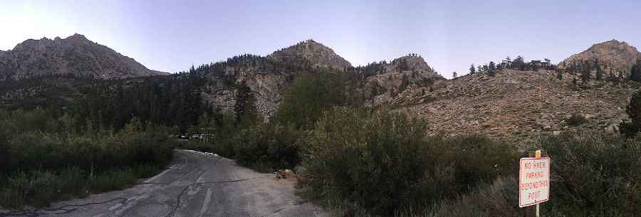
The road is totally paved with many switchbacks (9), and a dramatic section of them about halfway up the climb is the highlight, as it offers huge exposure and views over the Owens Valley, at around the mid-point of the drive. Historically, there has been a high level of bear activity in the Onion Valley. The scenery of Owens Valley and the Sierras are breathtaking.
Pic: Sean No