How To Have The Ultimate Road Trip To Bluebell Knoll in Utah
Bluebell Knoll is a high mountain peak at an elevation of 3.449m (11,317ft) above sea level, located in Wayne County, in the US state of Utah. It’s one of the highest roads in Utah.
Where is Bluebell Knoll?
The peak is located in the hinterlands of south-central Utah, within the Dixie and Fishlake National Forests.
Can I drive my vehicle to Bluebell Knoll in UT?
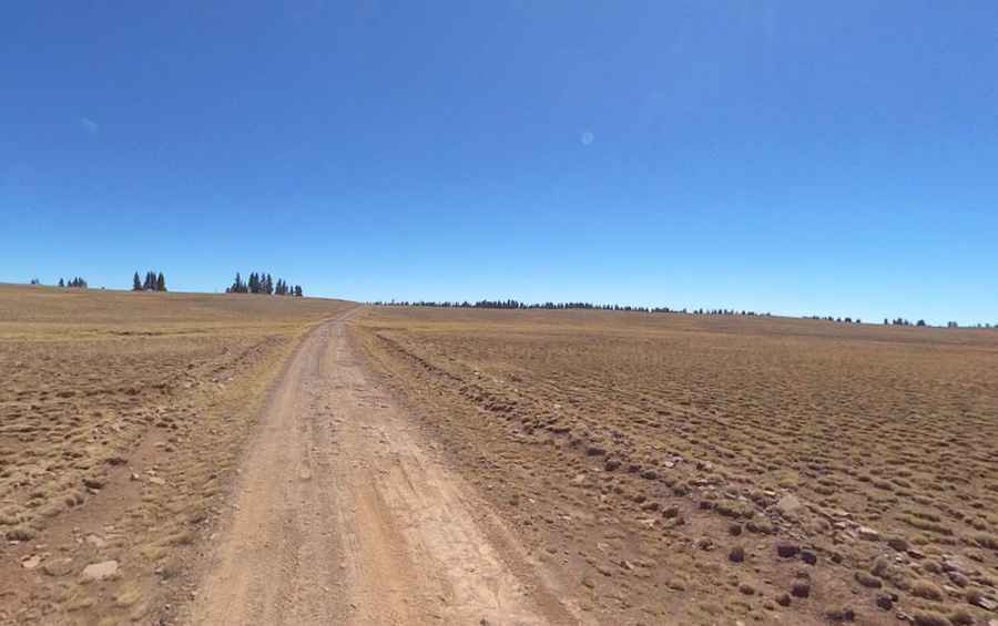
The road to the summit, also known as Boulder Top, is called FR178. Most of the route is good roads for passenger cars: however, the final few miles have a rough spot or two but nothing keeping a determined driver from reaching. A high clearance vehicle should be able to make it in most conditions. The road tops out at 11,177 feet. From the road, it is a short stroll to the summit area.
How long is the road to Bluebell Knoll in UT?
The road is 34.76km (21.6 miles) long, running north-south from Aquarius Ranger Station to Deer Lakes.
Is Bluebell Knoll in UT open?
Set high in the Boulder Mountains, the road is usually open from June, 16th to October 31st. Only travel on this road when it is dry. Always be prepared for winter weather, even in summer. When visiting in the summer, be mindful that the area attracts massive thunderstorms. When these storms appear, it is recommended that you seek shelter immediately. In a heavy winter year, the roads to the Aquarius Plateau may not open until July.
Pic: Shannon Bushman