The Scenic Journey Along State Route 153: From Beaver to Piute in Utah
State Route 153 (SR-153) is a very scenic drive linking Beaver and Piute counties, in the US state of Utah. The road tops out at 10,242 feet (3.122m) above sea level.
How long is U-153?
Set high in the Fishlake National Forest, Utah Highway 153 is 65.17km (40.5 miles) long running west-east from Beaver (a town in eastern Beaver County) to Junction (a town in Piute County).
When was U-153 built?
Built in 1945, the road reaches its highest overall elevation at 3.122m (10,242ft) above sea level. Along the route, you’ll find excellent camping, hiking, and some of the best hunting in the state.
How long does it take to drive U-153?
To drive the road without stopping will take most people between 1.2 and 1.5 hours. This area doesn’t get a lot of traffic so the byway is a relatively unknown gem.
Is U-153 open?
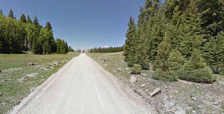
Tucked away in central Utah, the first 21 miles of the road are paved and suitable for all vehicles. It’s known as Beaver Canyon Scenic Byway. This byway runs from Beaver on I-15, ascends east to the Tushar Mountain Range in the Fishlake National Forest and ends after the Puffer's Lake turn-off. In this area, the route tops out at 9,200 feet (2,800 m). Because of heavy snow in the canyon, snow tires or chains are required from November 1 through March 31; the road may be inconvenient for larger vehicles during that period.
The second part of the road, from Puffer's Lake turn-off to the town of Junction, (after the ski area, over the Tushar Mountains and down to Junction in the Sevier River Valley) is 15 miles long. It is an unpaved, dry-weather-only road and is usually closed in winter across the spine of the Tushars. It is a good idea to check in Beaver about the current status of this road. Not recommended for trailers, it may be impassable during wet weather. The final 5 miles, near Junction, are paved again.