Gunsight Pass: Driving the treacherous Mahogany Road in Oregon
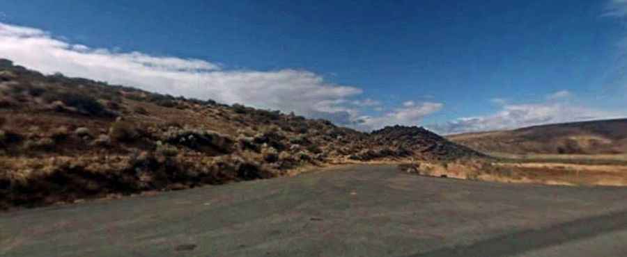
Gunsight Pass is a high-altitude desert gap situated at 1,930m (6,332ft) above sea level in Malheur County, Oregon. Located in the desolate southeast corner of the state near the Idaho border, the pass is accessed via the Mahogany Road. This 20.5-mile unpaved transit is a raw example of high-desert driving, where the technical challenge is not just the terrain, but the absolute isolation and the volatile nature of the soil in the Succor Creek drainage area.
| Road facts: Gunsight Pass | |
|---|---|
| Location | Malheur County, Oregon (USA) |
| Max Elevation | 1,930m (6,332ft) |
| Length | 20.5 miles (33 km) |
| Surface | Gravel / Volcanic Silt (Mahogany Road) |
Why is the 20.5-mile transit of Mahogany Road a mechanical test?
The road through Gunsight Pass runs west to east, connecting Upper Mc Cain Spring Road with Succor Creek Road. The challenge of this 33-kilometer journey is the constant vibration and the abrasive nature of the volcanic gravel. Maintaining a steady pace is vital; driving too fast on the washboard sections will lead to suspension overheating and can rattle mechanical components loose. Because the route is so long and isolated, a simple failure like a snapped belt or a punctured tire sidewall becomes a major logistical crisis in a territory where help is several hours away and cell coverage is non-existent.
What makes the mud at Gunsight Pass a "stay home" hazard?
The soil in this part of Oregon is notorious for its high clay content. When it rains, the dry surface of Mahogany Road transforms into a lethal "gumbo" mud. This substance is extremely sticky and heavy, clogging tire treads instantly and eliminating all lateral traction. If there is even a slight chance of rain, the only safe protocol is to stay home. Being caught on the 20.5-mile track during a storm means your 4x4 will likely become bogged down as the mud creates a suction effect around the wheels, making recovery nearly impossible without specialized heavy machinery.
What are the hazards of the remote Oregon-Idaho borderlands?
The geography around Gunsight Pass is a vast, high-desert landscape with zero infrastructure. The road is narrow and lacks maintained passing spots, meaning meeting another vehicle requires a slow, high-concentration maneuver on unpaved shoulders that can be crumbly and unstable. The summer heat is another factor; the long, slow-speed climbs toward the 1,930m pass put a heavy thermal load on your vehicle's cooling system. Navigating the final hairpins requires a disciplined line to avoid the deepest ruts carved by seasonal flash floods, which frequently wash out sections of the roadbed.
What mechanical preparation is needed for the Malheur County desert?
Driving the Mahogany Road is a task that demands total self-sufficiency. Before leaving the pavement, you must perform a full audit of your vehicle, ensuring your cooling system is flushed and you are carrying at least two full-sized spare tires. The sharp volcanic rocks found in the pass are notorious for shredding standard tires. Carrying extra fuel and plenty of water is mandatory, as the isolation of the southeast corner of Oregon is absolute. Ensure your 4x4 is equipped with undercarriage protection to avoid damage from the rocky outcrops that characterize this technical and lonely high-desert transit.