MacDonald Pass is a scenic drive through the Rocky Mountains in Montana
MacDonald Pass is a high mountain pass at an elevation of 1.930m (6,332ft) above sea level, located in the U.S. state of Montana.
Where is MacDonald Pass?
The pass is located just west of Helena, on the boundary between Powell County and Lewis and Clark counties, within the Helena-Lewis and Clark National Forest.
When was the road through MacDonald Pass built?
The road to the summit dates back to the 1860s. It was originally a toll road.
Is MacDonald Pass paved?
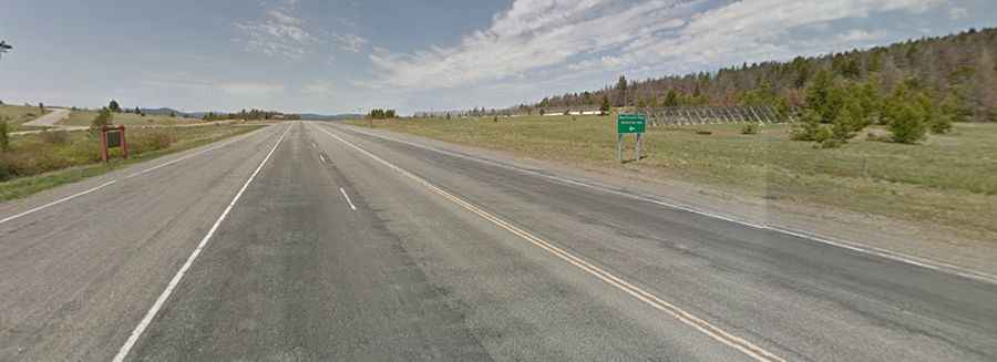
The road to the summit, also known as McDonald Pass, is totally paved. It’s called U.S. Route 12. The drive, largely flat and pleasant, is very scenic. The road definitely has some twists and turns.
How long is MacDonald Pass?
The road is 70.81km (44.0 miles) long, running west-east from Garrison (in Powell County) to Helena, the state capital of Montana and the county seat of Lewis and Clark County.
Is MacDonald Pass open in winter?
Set high in the Rocky Mountains, on the Continental Divide, the road is usually open all year round but short-term closures are common in winter.