An epic road to La Poudre Pass in the Rocky Mountains of Colorado
La Poudre Pass is a high mountain pass at an elevation of 3,111m (10,206ft) above sea level, located in Larimer County, in the U.S. state of Colorado.
Where is La Poudre Pass?
The pass is located west of Fort Collins, in the northern part of Colorado, at the northwestern boundary of Rocky Mountain National Park.
Is the Road to La Poudre Pass Unpaved?
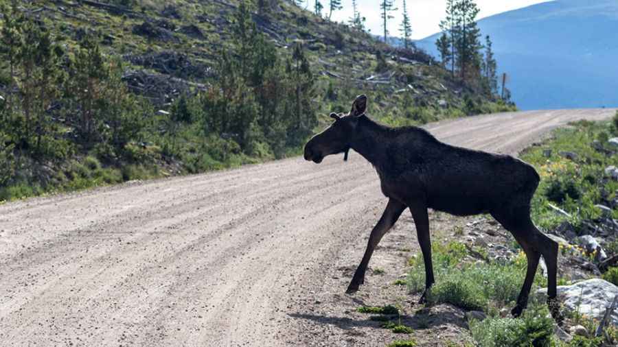
The road to the summit is completely unpaved. It’s called Long Draw Road (National Forest System Road 156). Despite being unpaved, the road is well-traveled and accessible by most passenger vehicles.
How Long is the Road to La Poudre Pass?
The road spans 21.40 km (13.3 miles), starting at Poudre Canyon Road and ending at the La Poudre Pass Trailhead parking area. The route is mostly flat.
Is the Road to La Poudre Pass Open?
Set high in the Rocky Mountains, the road typically opens after Memorial Day and closes in mid-October. Be prepared for sudden weather changes, as freak snow and rainstorms are common in the Rockies. Make sure to bring warm clothing and a waterproof jacket.
Pic: Steve Bailie