A remote paved road to Gore Pass in Colorado
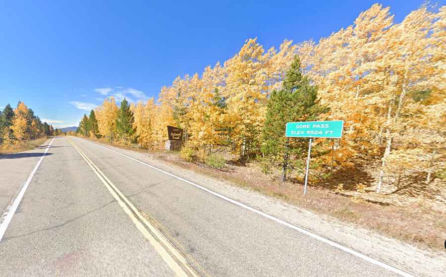
Gore Pass is a high mountain pass at an elevation of 2.909m (9,543ft) above sea level, located in Grand County, in the U.S. state of Colorado.
Where is Gore Pass in Colorado?
The pass is located on the northwestern part of Colorado, 20 minutes west of Kremmling.
Who is Gore Pass named after?
It’s one of Colorado’s undiscovered gems and a great ride. The pass is named for Sir St. George Gore, an Irish baronet from Sligo.
Can you drive to Gore Pass in Colorado?
The road to the summit is called Colorado State Highway 134. Beware fast-moving traffic on the road.
Is Highway 134 in Colorado paved?
The road is totally paved. It was newly resurfaced in July 2006.
How long is Gore Pass in CO?
The pass is 43.13km (26.8 miles) long, running west-east from Colorado State Highway 131, near Toponas (in Routt County) to US-40 Road.
Is Gore Pass in Colorado steep?
Set high in the Rocky Mountains, the road has a mild approach on the west side. The climb ranges between 3% and 5.5% with a very short 7% grade at the very top of the west summit. On the east side, there’s a moderate 5.4% grade. While the maximum grade is 9.2%, this never really is a hard climb.
Is Gore Pass in CO remote?
Located within the Routt National Forest, expect a lack of people and cars. This road passes through remote areas, so you need to be prepared. The pass is an alternative to Rabbit Ears Pass that will get you off busy US 40. Be cautious, however, the remoteness also causes issues if you break down or need medical assistance. This is a rather remote stretch of road that winds through scenic high country.