McClure Pass is one of the steepest paved roads of Colorado
McClure Pass is a high mountain pass at an elevation of 2.681m (8,795ft) above sea level, located in the US state of Colorado. It’s one of the steepest paved roads in the state, hitting a 9% maximum gradient.
Where is McClure Pass?
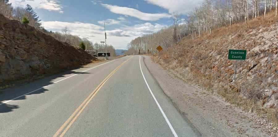
The pass is located on the boundary between Pitkin and Gunnison counties, in the western part of Colorado.
Is McClure Pass paved?
The road to the summit is totally paved. It’s called Highway 133 (West Elk Loop Scenic Byway).
How long is McClure Pass?
The pass is 79.82km (49.6 miles) long. It runs north-south from the town of Carbondale in Garfield County to Somerset, a coal mining town in Gunnison County. In 1947, the route was improved to its modern form.
How steep is McClure Pass?
It’s steep on both sides: hitting a 9% maximum gradient on the Carbondale side and 8% maximum grades on the Somerset side.
Is McClure Pass open in Colorado?
Set high in the Rocky Mountains of western Colorado, the pass is generally open year-round and closed only during heavy snowstorms. There is a risk of avalanches. Near the summit, there is a park area and overlook on the south side of the road.