How to drive the Ponderosa Pine Scenic Route (ID-21) in Idaho?
The Ponderosa Pine Scenic Route is the official designation for Idaho State Highway 21 (ID-21). Spanning 210.6 kilometers (130.9 miles) through central Idaho, USA, this paved mountain highway links Boise with Stanley across the Boise National Forest and the Sawtooth Mountains, climbing through three major mountain passes along its route.
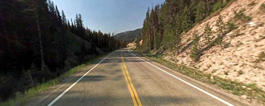
| Road facts: Ponderosa Pine Scenic Route (ID-21) | |
|---|---|
| Location | Ada, Boise, and Custer Counties, Idaho (USA) |
| Route Designation | Idaho State Highway 21 (ID-21) |
| Total Distance | 210.6 km (130.9 miles) |
| High Elevation Point | 2,151 m (7,056 ft) at Banner Creek Summit |
| Key Mountain Passes | Mores Creek (1,864m), Beaver Creek (1,841m), Banner Creek (2,151m) |
| Surface | Fully paved two-lane asphalt deck |
| Access Status | Open year-round; subject to severe winter avalanche closures |
Where is the Ponderosa Pine Scenic Route located?
The highway starts at Exit 57 off Interstate 84 in Boise at an elevation of 910 meters. It travels northeast along the Boise River and Lucky Peak Lake, carving through basalt canyons before climbing deep into the Boise National Forest to connect Idaho City, Lowman, and Stanley.
What mountain passes cross ID-21 between Boise and Stanley?
The 210.6-kilometer pavement crosses three distinct high-elevation passes along the alignment:
Mores Creek Summit: Sitting at 1,864 meters (6,115 ft) elevation between Idaho City and Lowman, this pass climbs through continuous 5% and 6% grades with tight hairpins. The descent into Lowman drops 683 meters over a short distance, testing heavy vehicle brakes.
Beaver Creek Summit: Positioned at 1,841 meters (6,040 ft) elevation northeast of Lowman, this section runs through historic forest burn scars where vegetation is sparse, exposing the paved surface to severe mountain crosswinds.
Banner Creek Summit: Reaching 2,151 meters (7,056 ft) above sea level, this is the highest point on ID-21, situated just south of the Stanley Basin. The high-altitude pass experiences extreme winter conditions and heavy snowpack accumulation.
Is ID-21 open in winter?
While the Idaho Transportation Department (ITD) maintains ID-21 year-round, an 11-kilometer sector near Banner Creek Summit crosses more than 60 active avalanche paths. Heavy winter storms trigger immediate emergency closures that can last from several hours to multiple weeks when snow slides cover the road. Nighttime plowing is suspended on this high-altitude section for crew safety, leaving the pass impassable during overnight winter storms.
What are the main driving hazards on ID-21?
The entire main route is paved, but steep 6% gradients, tight switchbacks, and long descents cause rapid brake overheating. Unshielded cliff edges lack continuous steel guardrails, and wild game (elk and deer) frequently cross the pavement in forested sectors between Boise and Lowman.