The unforgettable road to Sonora Pass in California
Sonora Pass is a high mountain pass at an elevation of 2.939m (9,642ft) above sea level, located in the U.S. state of California. It's one of the highest roads in California.
Where is Sonora Pass?
The pass is located on the boundary between Mono, Tuolumne, and Alpine counties, in the east-central portion of California.
How long is Sonora Pass in California?
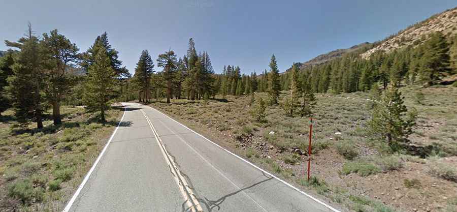
The road to the summit is totally paved. It’s called California State Route 108. The road is 47km (29.5 miles) long running west-east from Dardanelle (in Tuolumne County) to Sonora Junction (in Mono County).
Is Sonora Pass dangerous?
This road is popular due to its scenic beauty, but it is also somewhat dangerous. It is narrow and steep in spots with sharp turns and blind spots. The highway over the pass is extremely steep: it features an 8% average gradient, hitting a 26% maximum gradient through some of the ramps, between Kennedy Meadows on the west side and Leavitt Meadows on the east. The winding road turns so sharply in places that you’ll see cars almost stop going around corners. The route is not recommended for vehicles or vehicle combinations that are unusually wide, heavy, or long.
Is Highway 108 Sonora Pass open?
Set high in the Sierra Nevada mountain range, the pass is open to vehicles in summer only. The pass usually remains open until the first heavy snowfall of winter arrives. Often that occurs sometime in early November, but snow can temporarily close the pass at any time. Traditionally the pass reopens in mid-May, but once again, even after it opens, late-season storms can cause it to close again.
Is the road to Sonora Pass scenic?
The road offers some of the most spectacular views in the region. It’s an unforgettable journey with breathtaking scenery and light traffic. It’s a true mountain road, very beautiful running through alpine meadows.