A Scenic Paved Road to Luther Pass in California
Luther Pass is a high mountain pass at an elevation of 2,364 m (7,755 ft) above sea level, located in the U.S. state of California.
Where is Luther Pass?
The pass is located approximately 10 miles south of Lake Tahoe, on the boundary between Alpine and El Dorado counties, in the northeastern part of California, near the Nevada border.
Why is it called Luther Pass?
The pass, used by early settlers and travelers crossing the Sierra Nevada, is named after Ira M. Luther, a rancher who lived in the area in the 19th century.
Is Luther Pass in California paved?
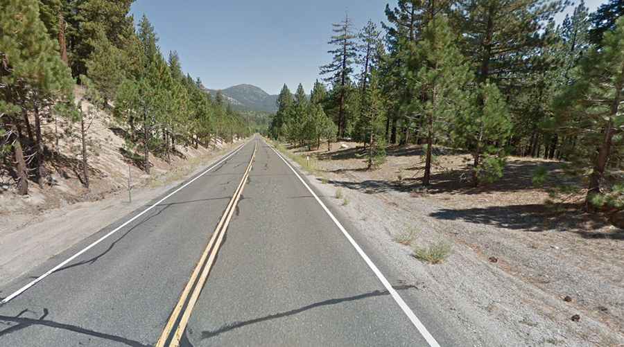
The road to the summit is fully paved. It’s called California State Route 89 (also known as Luther Pass Road). The drive over Luther Pass offers beautiful views of forested landscapes, meadows, and the surrounding mountains. In the fall, the area is particularly scenic with colorful foliage.
How long is Luther Pass in California?
The pass is 17.86 km (11.1 miles) long, running from Meyers (in El Dorado County) towards Sorensens (in Alpine County). The drive is pretty steep, averaging a 6% grade for 6 miles.
Is Luther Pass in California open in winter?
Set high in the northern Sierra Nevada mountains, the pass is accessible year-round, although winter conditions can be challenging due to snow and ice. The road is usually well-maintained and plowed, but drivers should always check road conditions during the winter months.