Cochetopa Pass is an unforgettable road in Colorado
Cochetopa Pass is a high mountain pass at an elevation of 3.076m (10,091ft) above sea level, located in Saguache County, in the U.S. state of Colorado.
Where is Cochetopa Pass?
The pass is situated in the southern region of Colorado, on the Continental Divide, which separates the Gunnison and Rio Grande National Forests.
Why is it called Cochetopa Pass?
Cochetopa derives its name from the Ute Indian language, signifying the "Pass of the Buffalo."
When was the road through Cochetopa Pass built?
The initial construction of this pass dates back to 1858, marking its historical significance.
Can you drive to Cochetopa Pass in Colorado?
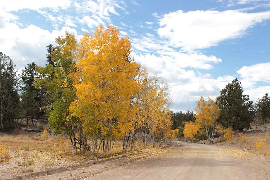
The road to the summit is called Saguache County Road NN14, commonly known as Cochetopa Pass Road. This well-maintained gravel road, composed of graded dirt, is easily navigable by regular passenger vehicles as it winds through the breathtaking national forest lands. It poses no significant challenges for the majority of drivers.
How long is the road to Cochetopa Pass in CO?
The road to the summit is 42.32km (26.3 miles) long, starting and ending at State Highway 114. It usually has gentle grades and is fairly wide. There is another slightly higher pass a few miles north, along State Highway 114, called North Pass, also known as North Cochetopa Pass.
Is Cochetopa Pass in Colorado open?
Set high in the Rocky Mountains of Colorado, the road is usually impassable from October to June.
Pic: Becky Robbins