A classic road trip to Narbona Pass in New Mexico
Narbona Pass is a high mountain pass at an elevation of 2.658m (8,721ft) above sea level, located in San Juan County, in the US state of New Mexico.
Where is Narbona Pass?
The pass, formerly known as Washington Pass, is located in the northwestern part of New Mexico near the Arizona border. The area has historical significance, with connections to both indigenous cultures and early settlers.
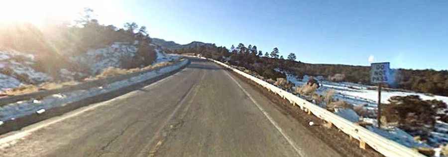
Is Narbona Pass paved?
The road to the summit is fully paved. It’s called Indian Service Route 32 (NM134). It’s known for its winding and narrow stretches, so careful driving is advised, especially in adverse weather conditions.
Is Narbona Pass open in winter?
Set high in the Chuska Mountains, the road is open to traffic throughout the year. But the winding road may be closed for short periods in winter when the weather is bad.
How long is Narbona Pass?
The pass is 30km (18 miles) long, running west-east from Crystal to Sheep Springs. It features some steep sections.