Beautiful turnouts and scary gradients on the road to Teton Pass in Wyoming
Teton Pass is a high mountain pass at an elevation of 2,571m (8,435ft) above sea level, located in Teton County, in the U.S. state of Wyoming. The grades on some parts of the road can be scary in a passenger vehicle.
Where is Teton Pass?
The pass is located in the western part of Wyoming, near the border with Idaho, within the Bridger-Teton National Forest. At the summit, a minor gravel road climbs up to Teton Peak, at 2,643m (8,671ft) above sea level.
Is Teton Pass paved?
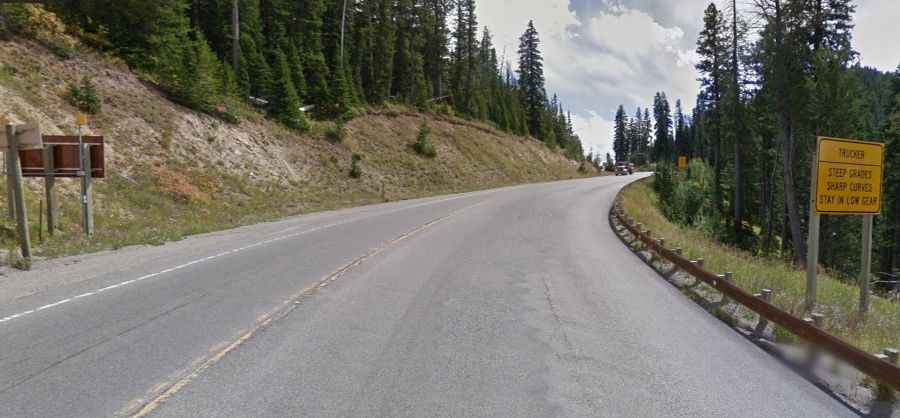
Set high at the southern end of the Teton Range, the road to the summit is paved with sharp turns. It’s called Wyoming Highway 22 (also known as Teton Pass Highway) and becomes Idaho State Highway 33 at the Idaho border. The first road through the summit was built in 1913.
How long is Teton Pass?
The pass is 28km (17.4 miles) long, running from Wilson (in Teton County, Wyoming) to Victor (in Teton County, Idaho).
Is the Grand Teton Pass open?
The road to the summit is typically open all year round, with occasional closures in winter due to dangerous weather conditions. There are several avalanche slide paths traversing the road along its length, including Glory Bowl slide area. During the winter months, the road is often closed in the early mornings for avalanche control by the Wyoming Department of Transportation. Trailers are not allowed over the pass during the winter months.
How difficult is Teton Pass?
The road is not easy. It features a 10% maximum gradient through some of the ramps. It is dangerous and hazardous for overweight trucks due to its steep grade, length, and curve severity that can cause trucks to lose control. After dark, it's a special thrill.