Sylvan Pass in Wyoming: A Paved Gateway Through Yellowstone NP
Sylvan Pass is a high mountain pass situated at an elevation of 2,607m (8,553ft) above sea level, located in the US state of Wyoming.
Where is Sylvan Pass?
The pass is located on the boundary between Teton and Park counties, in the northern part of Wyoming.
Why is it called Sylvan Pass?
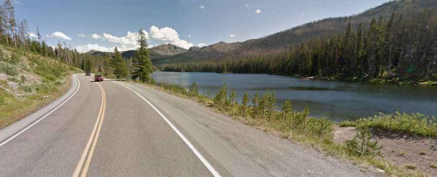
The pass was named after the nearby Sylvan Lake.
When was the road through Sylvan Pass built?
Set high in the Absaroka Mountains, the first road through the pass was constructed in 1914.
Is the road to Sylvan Pass in Wyoming paved?
The scenic road leading to the summit is fully paved. It’s called US 16.
How long is Sylvan Pass?
The road through the pass is 125km (77.8 miles) long, extending from Lake Village (in Teton County) to Cody (in Park County). Sylvan Pass sees traffic from around 1,200 vehicles daily, making it one of the most heavily traveled east-west routes in Wyoming. There's a risk of avalanches.
Is the road to Sylvan Pass in Wyoming paved?
Set high on the east side of Yellowstone National Park, the road is closed to regular vehicles from early November to late-April, and is open to limited oversnow travel (commercially-guided snowmobiles and snowcoaches) from mid-December to mid-March. When open, roads are not gated at night and people may enter/exit the park 24 hours a day, seven days a week. Yellowstone has five entrance stations, and it takes several hours to drive between them. Anticipate possible road closures, and check the road status of the entrance you intend to use before traveling.