Driving the Paved Road to Cuchara Pass in Colorado
Cuchara Pass is a high mountain pass at an elevation of 3,036m (9,960ft) above sea level, located in the US state of Colorado.
Where is Cuchara Pass?
The pass, also known as Cucharas Pass, is situated on the boundary between Huerfano and Las Animas counties, in the south-central part of Colorado. At the summit, there is space for vehicles to pull off and enjoy the views. A minor road climbs up to Cordova Pass, a high mountain pass at 3,428m (11,248ft) above sea level in Huerfano County.
Is the road to Cuchara Pass paved?
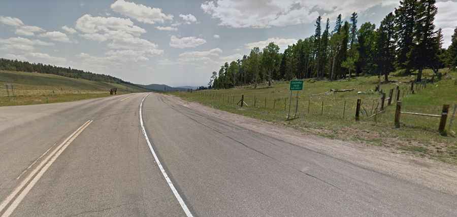
Yes, the road to the summit is fully paved. It’s called Colorado State Highway 12 (SH 12), also known as the Highway of Legends. The road winds through Cuchara, where you will begin to see the old volcanic dykes of Stonewall. The Cuchara River accompanies you through most of your northern journey.
How long is the road to Cuchara Pass?
Located in San Isabel National Forest, the pass stretches 35.72 km (22.2 miles), running north-south from Cuchara to Stonewall.
Is the road to Cuchara Pass open in winter?
Nestled in the Sangre de Cristo Mountains, the pass is typically open year-round, but short-term closures are common in winter due to hazardous conditions and heavy snowfall.