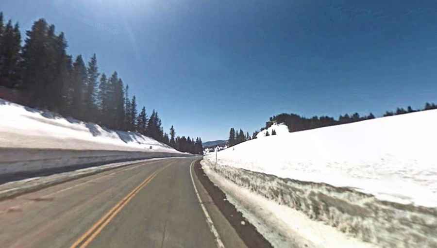
Driving the high-altitude road to Cumbres Pass in Colorado
Cumbres Pass is a high mountain pass at an elevation of 3.057m (10,029ft) above sea level, located in Conejos County, in the U.S. state of Colorado.
Where is Cumbres Pass?
The pass is located in the southern part of Colorado, near the New Mexico border, to the south of La Manga Pass, within the Rio Grande National Forest,
What does Cumbres Pass mean?
“Cumbres” is crest in Spanish.
When was the road to Cumbres Pass in CO built?
The first road through the pass, a toll road, was built in 1879 and the improved highway opened in 1923.
How long is Cumbres Pass in CO?
The road to the summit is totally paved. It’s called Colorado State Highway 17 (SH 17). The pass is 75.80km (47.1 miles) long running from the town of Antonito (in Conejos County, Colorado) towards Chama (in Rio Arriba County, New Mexico).
Is Cumbres Pass in CO steep?
The road is pretty steep hitting a 12.76% through some of the ramps: It has a 5.8% approach on the north side and a 4% approach on the south side.
Is Cumbres Pass in CO open?
Set high in the San Juan Mountains of Colorado, the pass is typically open all year round but short term closures are common in winter due to dangerous weather conditions. The pass normally sees a lot of snow, but it is rarely closed.