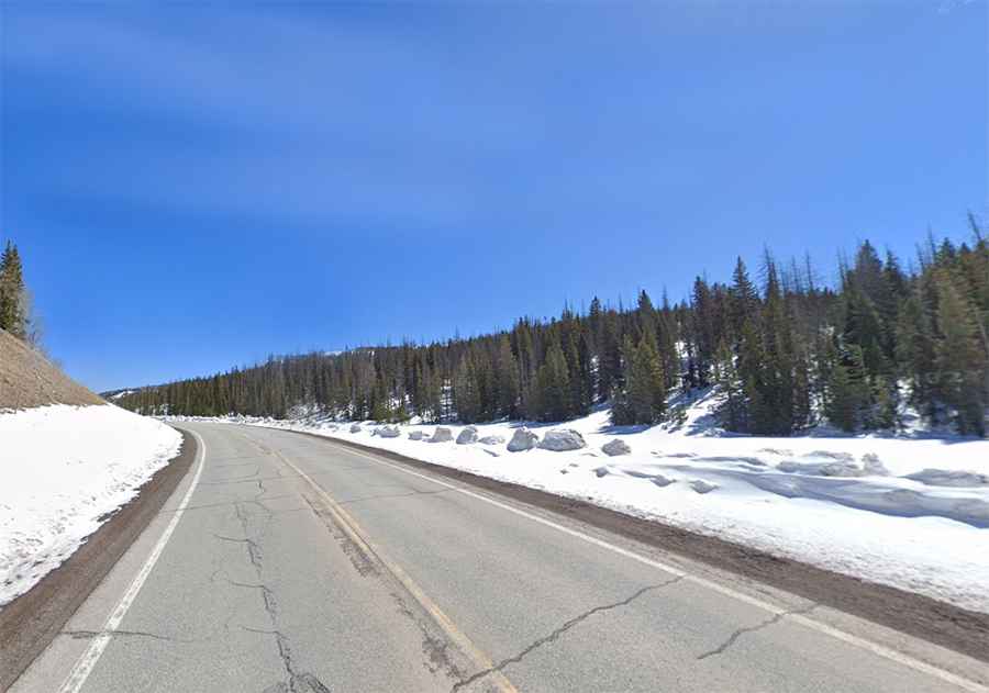
A steep paved road to La Manga Pass in Colorado
La Manga Pass is a high mountain pass at an elevation of 3.124m (10,249ft) above sea level, located in Conejos County, in the U.S. state of Colorado.
Where is La Manga Pass?
The pass is located in the southern part of Colorado, near New Mexico’s border, to the north of Cumbres Pass.
Is the road to La Manga Pass in Colorado paved?
Located within the Rio Grande National Forest, the road to the summit is fully paved since 1954. It’s called State Highway 17 (SH 17).
How long is La Manga Pass in Colorado?
The pass is 75.80km (47.1 miles) long running from the town of Antonito (in Conejos County, Colorado) towards Chama (in Rio Arriba County, New Mexico). The road is pretty steep: an average gradient of 5.5%, with some sections up to 12.76%.
Is the road to La Manga Pass in Colorado open?
Set high in the San Juan Mountains, the road is usually open to traffic throughout the year, but may be closed for short periods in winter when the weather is bad. It suffers the harsh meteorological conditions of the area every winter.