How to drive the wild road to Babyshoe Pass in Washington?
Babyshoe Pass is a mountain pass at an elevation of 1.326m (4,350ft) above sea level, located in Skamania County, in the U.S. state of Washington.
Is Babyshoe Pass in Washington paved?
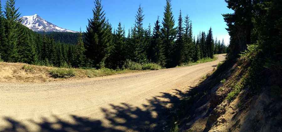
Set high in the Cascade Range, within the Gifford Pinchot National Forest, the road to the summit is mostly paved but there is a 12 mile gravel stretch over the pass. It’s called U.S. Forest Route 23 (NF-23). Some sections of the road are rutted and dusty. 9% grades with loose gravel over nasty washboard make it tough to keep traction.
Is Babyshoe Pass Open Year-round?
Located to the west of Mount Adams, within the Mount Adams Recreation Area, the drive offers rewarding views. The road is not maintained in winter. The road re-opens in the snow free months in early Summer through Fall.
How long is Babyshoe Pass in Washington?
The route to the summit stretches for 88.03km (54.7 miles). It runs north-south, connecting Randle (a town in eastern Lewis County) to Trout Lake (in Klickitat County).
Pic: Jason