Bobcat Pass is a high mountain road in New Mexico
Bobcat Pass is a high mountain pass at an elevation of 2,995m (9,826ft) above sea level, located in Carson National Forest, in the U.S. state of New Mexico.
Where is Bobcat Pass?
The pass is located on the boundary between Taos and Colfax counties, in the northern part of New Mexico.
Why is it called Bobcat Pass?
The pass is named for the frequency of bobcats in the area.
How long is Bobcat Pass?
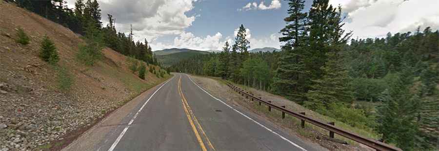
The road to the summit is totally paved. It’s called New Mexico State Road 38 (NM-38). The road is 46.99km (29.2 miles) long, running from Questa (in Taos County) to Eagle Nest (in Colfax County).
Is Bobcat Pass steep?
The road to the summit is very steep, with a 10% maximum gradient through some of the ramps. Starting at Questa, the ascent is 29.48 km long. Over this distance, the elevation gain is 1,097 meters. The average percentage is 3.7%. There is a steep 4-mile climb up to the pass, but only the first two miles from Red River are hard. Then there is a lovely 13-mile descent from Bobcat to Eagle Nest through the beautiful Moreno Valley, and it's mostly downhill the entire way.