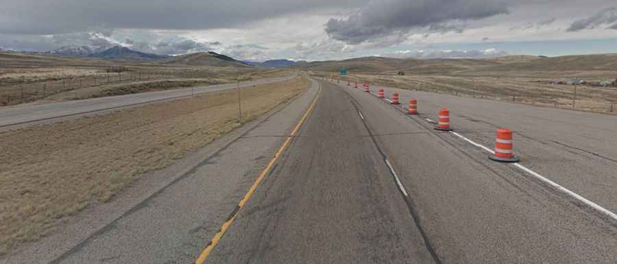
The road to Monida Pass on the border of Idaho and Montana
Monida Pass is a high mountain pass at an elevation of 2,102m (6,896ft) above sea level, located on the border of Idaho and Montana, in the USA.
Where is Monida Pass?
The pass is located on the border of eastern Idaho and southwestern Montana in the Bitterroot Range of the Rocky Mountains of the northwestern United States.
Why is it called Monida Pass?
The name of the pass is derived from the states that it separates, "Mon" from Montana and "-ida" from Idaho.
Is Monida Pass paved?
The road to the summit is fully paved. It’s called Interstate 15 (I-15) or Veteran’s Memorial Highway.
How long is Monida Pass?
The pass is 48km (30 miles) long, running from Lima, a town in Beaverhead County (Montana), to Spencer, called the "Opal Capital of America," in Clark County (Idaho).