Travel guide to Fremont Pass in Colorado
Fremont Pass is a high mountain pass at an elevation of 3.455m (11,335ft) above sea level, located in the U.S. state of Colorado.
Where is Fremont Pass?
The pass is located on the boundary between Lake and Summit counties, in the central part of Colorado. The pass hosts the Climax molybdenum mine. It was once the world’s leading producer of molybdenum, accounting for 75 percent of the world’s supply.
Why is it called Fremont Pass?
The pass is named for John C. Frémont, an explorer of the American West.
Is Fremont Pass in Colorado paved?
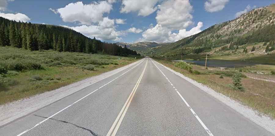
The road to the summit is totally paved. It’s called State Highway 91 (SH 91), the Top of the Rockies National Scenic Byway. The road is surprisingly straight for a pass with only a few turns near the summit.
How long is Fremont Pass in CO?
The pass is 34.92km (21.7 miles) long, running north-south from Copper Mountain to Leadville. Note that there are a couple of false summits before you reach the true summit.
Is the road to Fremont Pass in CO open?
Set high in the Rocky Mountains of central Colorado, access to the pass is typically open all year round, with the occasional closure in winter due to dangerous weather conditions.
Is the road to Fremont Pass in Colorado steep?
Most of the pass is gentle. However, the road hits a 15% maximum gradient through some of the ramps.