Kenosha Pass, a 5 stars road in the Rocky Mountains
Kenosha Pass is a high mountain pass at an elevation of 3.054m (10,019ft) above the sea level, located in Park County, in the U.S. state of Colorado.
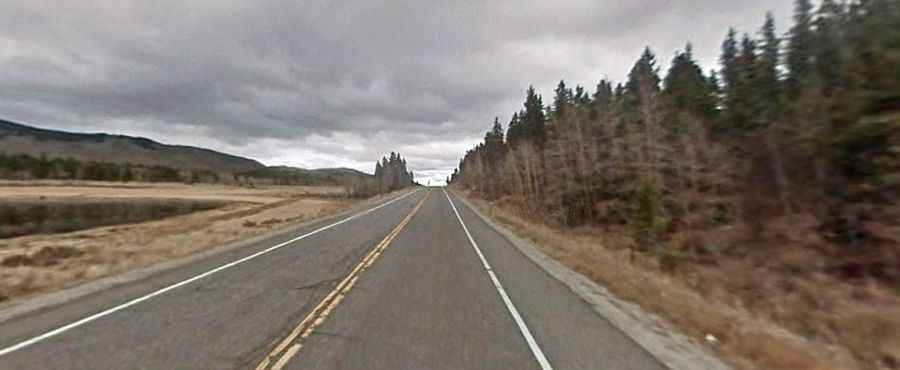
The road to the summit is totally paved, full of gentle curves and grades. It’s called US Highway 285. It’s a well maintained, paved road easily traversable by most vehicles, featuring easily negotiable curves along an amply wide highway. The pass is 19.15km (11.9 miles) long, running west-east from Jefferson to Grant. The approach on the eastern side is fairly gentle, and the western side has a steeper ascent.
Located in the Rocky Mountains of central Colorado, the region (commonly referred to as the High Country) is well-known for its colorful stands of aspen in the fall. At the summit of the pass, there are large, often-crowded parking areas on both sides of the road. The pass offers dramatic view of the surrounding Rockies, including the nearby peaks of Mount Evans and Mount Bierstadt. A minor gravel road south of the pass climbs up to North Twin Cone Peak at 3.759m (12,332ft) above the sea level.