Willamette Pass is a classic road trip in Oregon
Willamette Pass is a high mountain pass at an elevation of 1.563m (5,128ft) above sea level, located in the US state of Oregon.
Where is Willamette Pass?
The pass is located on the boundary between Klamath and Lane counties, 65 miles southeast of Eugene, in the central-western part of Oregon.
When was Willamette Pass built?
The road through the pass opened in July 1940. The pass has been an important transportation route between the Willamette Valley and central Oregon for over 150 years.
How long is Willamette Pass?
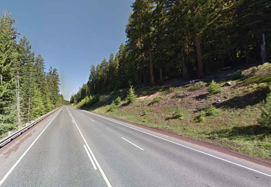
The road to the summit, also known as Pengra Pass and Willamette Summit, is totally paved. It’s called Oregon Route 58 (OR 58) or Willamette Highway No. 18. The pass is 138km (86 miles) long, running from Goshen to the north of Chemult.
Is Willamette Pass open?
Set high in the Cascade Range, within the Willamette National Forest, access to the pass is typically open all year round but short term closures are common in winter due to dangerous weather conditions.
Is Willamette Pass worth it?
Located to the north of Odell Lake, this road offers lush forest, sparkling lakes, beautiful wildlife, and plenty of places to hike, fish, camp, swim, or just stop and relax. Backcountry winter recreation opportunities in the Willamette Pass area include a fully developed system of backcountry trails and shelters, a warming hut staffed by volunteers on the weekends at Gold Lake Snopark, and a family-friendly tubing hill at Salt Creek Snopark. The Willamette Pass Resort ski area is located above the pass.