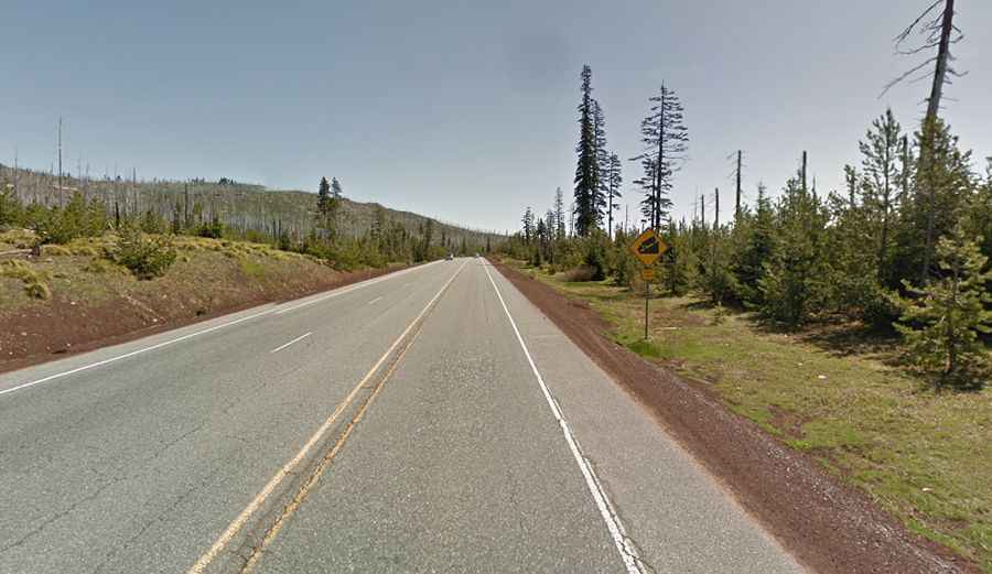
A scenic paved road to Santiam Pass in central Oregon
Santiam Pass is a high mountain pass at an elevation of 1.471m (4,826ft) above sea level located in the US state of Oregon.
Where is Santiam Pass?
The pass is located on the boundary between Linn and Jefferson counties, in the central part of Oregon.
Why is it called Santiam Pass?
Andrew Wiley discovered the pass in 1859 and named it after the Santiam Indians, a Kalapooian tribe residing near the Santiam River.
Is Santiam Pass in OR paved?
The road to the summit, also known as Lakes Pass, Minto Pass, and Hogg Pass, is totally paved. It’s called McKenzie Pass-Santiam Pass Scenic Byway.
How long is Santiam Pass in OR?
The pass is 29.12km (18.1 miles) long, running west-east from Santiam Junction (in Linn County) to Black Butte Ranch (in Deschutes County).
Is Santiam Pass in Oregon open?
Set high in the Cascade Range, the road is usually open all year round, but short term closures are common in winter due to dangerous weather conditions. As you climb to Santiam Pass, you’ll see a side road for Hoodoo Ski Area which features downhill and cross-country skiing from December to March. Hoodoo Ski Area, which opened in about 1940 and operates under a U.S. Forest Service special-use permit, is located just south of the summit.