Kebler Pass is the best place to see fall colors in Colorado
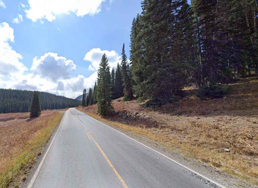
Kebler Pass is a high mountain pass at an elevation of 3,050m (10,007ft) above sea level, located in Gunnison County, in the U.S. state of Colorado. The road to the summit switches from paved to gravel several times, but the road is overall in great condition.
How long is the road to Kebler Pass?
The road to the summit is called Gunnison County Road (GCR) 12 (Kebler Pass Scenic Drive). It’s 50.53km (31.4 miles) long, running west-east from Crested Butte to Somerset (CO-133).
Do you need a 4x4 for Kebler Pass?
The quality of the road is very good and can be easily driven by any passenger vehicle in summers. It is a two-lane graded (i.e., smooth) dirt road with a dust inhibiting coating, almost as good as a paved road. A few portions of the road near the top of the pass have been paved. The grades on the road are very gentle.
Is the road to Kebler Pass open?
Set high in the Rocky Mountains of Colorado, the road is typically closed from November to May. It’s closed seasonally each winter when the snow makes the road impassable.
How long does it take to drive the Kebler Pass Road?
Running within the lush Gunnison National Forest, plan about two hours to complete the drive.
When is the best time to drive the Kebler Pass Road?
It is a very scenic mountain road through aspen forests, alpine meadows, and mountain lakes. It’s an incredible drive during fall when the leaves change to brilliant oranges and reds.