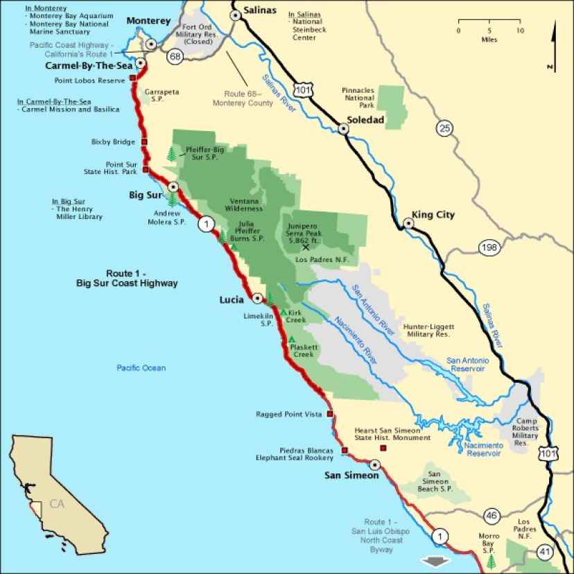
Big Sur Coast Highway is an epic coastal drive in California
Big Sur Coast Highway is a very scenic drive hugging the California coast, in the USA. This twisting, cliff-hugging coastal scenic drive runs from Monterey to San Luis Obispo.
How long is Big Sur Coast Highway?
This picturesque route is entirely paved. It’s a 123-mile (198-kilometer) drive running along the central California coast. Part of the stunning California State Route 1, the drive begins in Monterey and travels to San Luis Obispo. Designated an All-American Road—among the nation's most scenic—the drive encompasses both the Big Sur Coast Highway and the San Luis Obispo North Coast Byway.
How long does it take to drive the Big Sur Coast Highway?
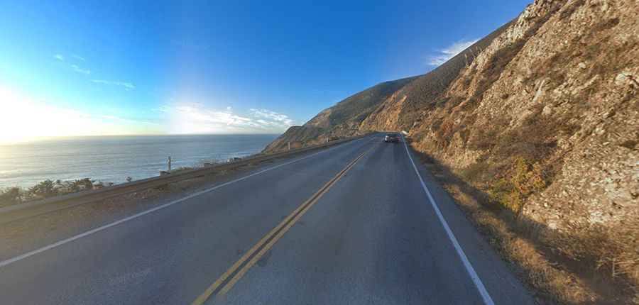
Plan up to five hours of drive time one-way. The road will take you along the most fascinating scenery in the state. It’s widely considered to be one of the most scenic driving routes in the United States. This coastal scenic drive offers dramatic views of the rocky Pacific shore of California. The road does get busier with sluggish RVers on holiday weekends.
Is Big Sur Coast Highway dangerous?
The drive is suitable for all types of vehicles. It was built in 1937. The road is a delight to drive, with every kind of twist and turn. In places, this winding road has narrow shoulders and sharp drop-offs, so stay alert. This route can be tricky for RVs or other oversize vehicles. Every few years, it is closed by mudslides and washouts after torrential winter storms and even more destructive wildfires. Big Sur is still a wild place, with little or no cell phone reception.