How to drive the unpaved road to Orogrande Summit in Idaho
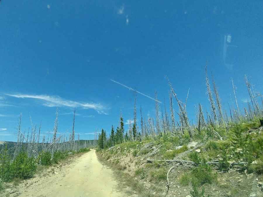
Orogrande Summit is a high mountain pass at an elevation of 2.220m (7,283ft) above sea level, located in Idaho County, in the US state of Idaho. The route is a gravelly and well-graded shelf road.
Where is Orogrande Summit?
The pass is located in the northern part of Idaho, within the Nez Perce National Forest. At the summit there’s a campground.
Is the road to Orogrande Summit unpaved?
The road to the summit is totally unpaved, with narrow parts and very steep sections. It’s called Forest Road 233. It is an easy, well-graded gravel shelf road. Occasional deadfall may be present, especially after storms, but overall, the route is suitable for most high-clearance vehicles.
How long is the road to Orogrande Summit?
Starting from Orogrande, the road to the summit is 9.49km (5.9 miles) long. Over this distance, the elevation gain is 794m (2,608 ft) and the average gradient is 8.36%.
Is the road to Orogrande Summit open year-round?
Set high in the Clearwater Mountains, the road is not plowed in winters.
Pic: Nathanael Schey